by Sheila Molloy –
The District of North Saanich is home to 29 local parks and 34 km of trails that weave through and around the entire community.
The commitment to connecting green spaces is special to the entire Peninsula and North Saanich especially is spoiled for choices: from trails through small woods, hilltop views, quiet beaches and peaceful residential neighbourhoods.
Route Details
Starting from West Saanich Road and Readings Road. Follow Readings until Sycamore Drive and go right. Follow that to Hickory Drive. Go right. Park on the street close to the entrance of Sycamore Park.
Sycamore Park starts as a throughway past residential backyards to a staircase which can be slippery after a rain, so use some caution.
There is a bench at a junction where you will follow the path to the right and over a gentle forest slope to Sycamore Drive. Go left on Sycamore (downhill), cross Reading Drive down Sycamore Place to Sumac Park.
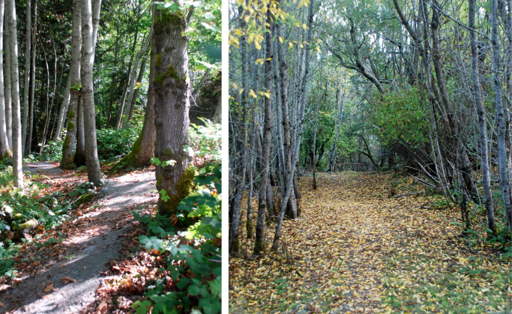
Sumac Park is four hectares of beautiful parkland full of cedar, large leaf maple trees and Douglas fir. There are several trails to follow but we headed left (north) toward Sumac Drive. Other options are to connect toward the Eugene Bailin Memorial Trail (east) or to Reading Drive Park to the south.
Back into the peaceful residential community on Sumac Drive, go past Oceanspray Drive and all the way to Bluebell Place. Turn right and follow the road to the end, where you will find a path connector that brings you onto the trail into Bluebell Park.
Bluebell Park is an easy path through a forest with cedar, Douglas fir and arbutus trees. Past giant ferns, salal, ivy, and moss-covered treefall. As you come to the turn out of the park (south) you will begin your trek back up. Look back for glimpses of Salt Spring Island from Readings Drive and as you head up another path connector toward Brickley Close.
Straight across Brickley to the path connector to Nitinat Road, which you will follow downhill to Hillgrove Road. Go left to walk up the picturesque lane to another connector that is your final forest path before coming out at Acorn Place and the other side of Hillgrove Road.
The final part of this two-hour walk is up Hickory Drive (left off Hillgrove Road past interesting architecture and acreages with a few peek-a-boo views of the ocean and valley).
Things to Note
Explore and create your own park-to-park path using ArcGIS Online: www.arcgis.com/apps/webappviewer/index.html?id=7457a1e62fcc4ae9aa0a236f3b79321b
There are no public toilets in this vicinity but the public washroom at Horth Hill is likely the closest.


